

Matsumoto and Nagano Travel Map: Sights and Food
This post contains the Google Map list I made while I was traveling to Matsumoto & Nagano. It can quickly filter destination categories with pre-made tags.

The Matsumoto & Nagano Google Maps list includes every place I saved, such as restaurants, points of interest, and backup options, organized so I could decide quickly while walking around. The Google Maps list can quickly sort things by distance so that you see what is closest to you.
This is not a “best of” list. It’s a working map: places I researched, returned to, or kept as reliable fallbacks while I was out and about. You can open it so that it overlays on the Google Maps app on your phone, and you can save the list to your account as well. Instructions on how to use the Google Map List can be found in this post.
What’s Inside the Travel Map
The Google map list is organized with tags, so you can focus only on what you need when you click on a certain tag:
🍜 Food: Restaurants, Izakayas, and places I ate at for meals or reliable standbys.
🚊Transit: Train stations and key transit points I used or noted for efficient travel.
☕️ Coffee & Bakeries: Coffee, tea and pastries
🍶 Bars & Wine: All izakayas can be considered drinking establishments, but this is when the focus is on the drink more than the food
⛩️Worth Seeing: Landmarks, neighborhoods, viewpoints, street art, and other places worth wandering past to at least take a photo
👣Walks & Wanders: places to stroll or meander by
📷 Camera Out: Don’t forget to take out the camera
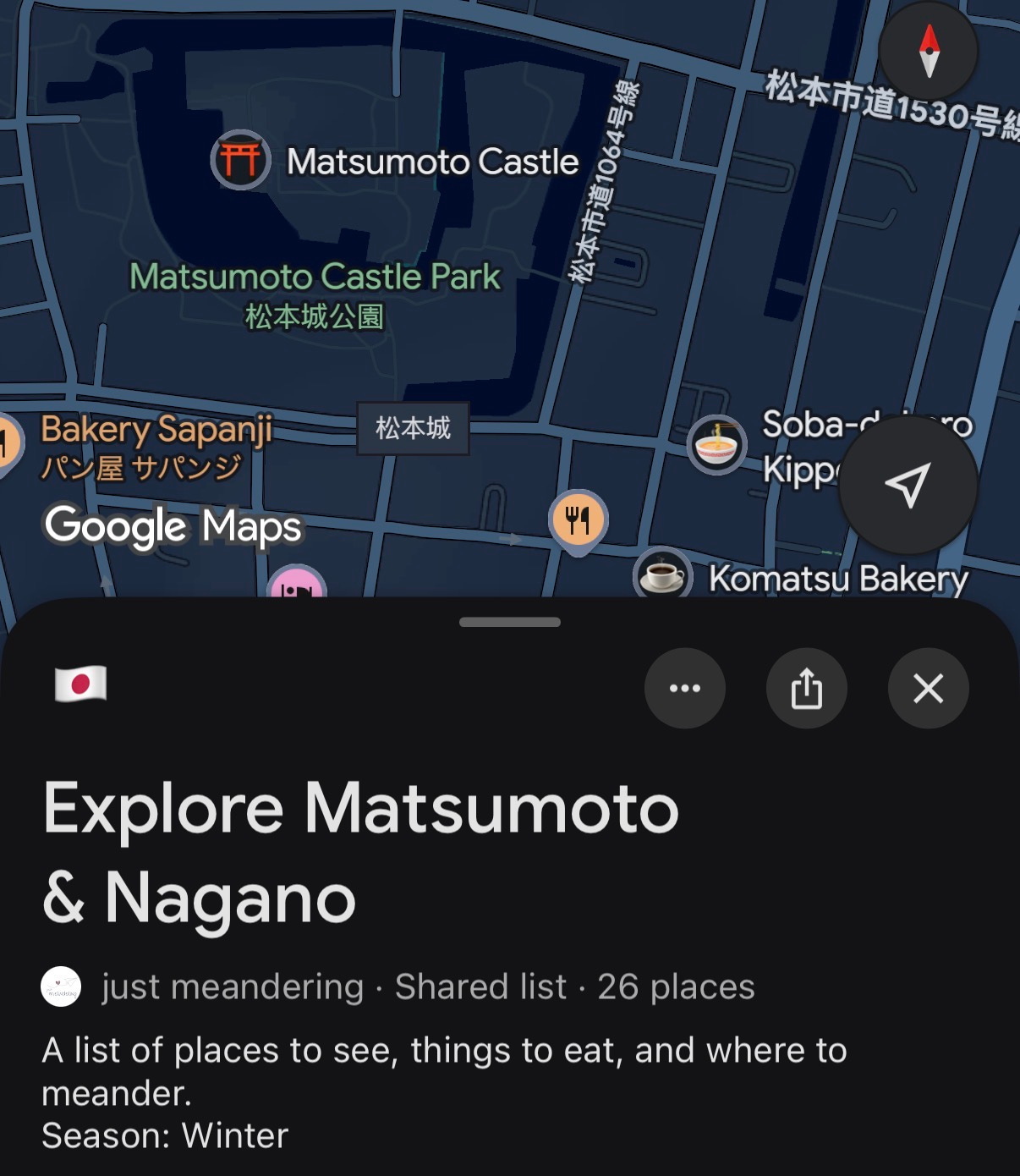
Link to my map here: Explore Matsumoto & Nagano. Note this map was made when I travelled in the winter of 2026.
If you want additional information, feel free to check out some of my other blog posts that will go through some of these locations in more:
